Home
Home
How to Use Instant Street View to See Any Address Fast
Instant Street View
refers to third-party tools like
ShowMyStreet.com
and
InstantStreetView.com
that utilize the Google Maps API to display 360-degree imagery immediately upon typing an address. While these tools offer a faster interface than the official Google Maps site, they often lack advanced features like historical data and "Immersive View." For mobile users, the fastest method is enabling the
Street View Layer
within the native Google Maps app.
What Is Instant Street View and How Does It Work?
The term "Instant Street View" describes a category of web-based applications designed to streamline the process of finding street-level imagery. Unlike the standard Google Maps interface, which requires multiple clicks to drop a "Pegman" or select a location, these tools focus on a search-first experience. As you type an address into the search bar, the background image updates in real-time to show the 360-degree panorama of that specific coordinate.
These platforms, such as InstantStreetView.com and ShowMyStreet.com , function as wrappers for the Google Maps API. They pull the same high-resolution imagery captured by Google’s fleet of camera cars but strip away the sidebar, directions, and business listings to prioritize visual exploration. This makes them a top choice for real estate professionals, travelers, and curious explorers who need to verify a location's appearance in seconds.
It is important to note that these sites are independent entities. As stated by ShowMyStreet , they are not affiliated with or owned by Google. They rely on Google's developer tools to function, which means their availability is subject to Google’s API quotas and regional restrictions. In regions where Google has not mapped the streets—such as parts of Germany (historically) or specific rural areas in developing nations—these instant tools will also fail to display imagery.
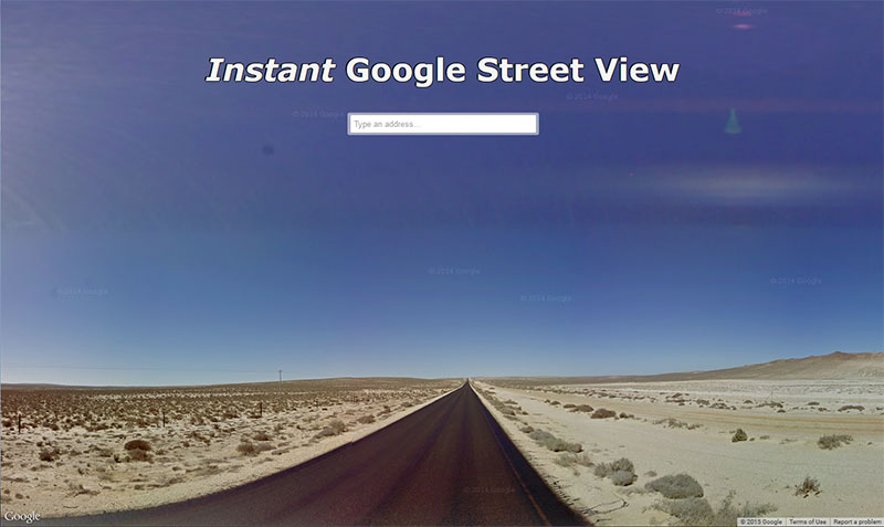
Image source: www.instantstreetview.com
Which Instant Street View Tool Should You Use?
Choosing the right tool depends on whether you value speed, sharing capabilities, or advanced data. While third-party sites are faster for quick lookups, the official Google Maps platform remains a strong contender for comprehensive research. Below is a comparison of the most popular options available as of 2026.
| Tool Name | Best For | Key Feature | Missing Feature |
|---|---|---|---|
| InstantStreetView.com | Sharing & Saving | Direct URL for specific angles | Historical imagery |
| ShowMyStreet.com | Minimalist UI | Ultra-fast address loading | Advanced map layers |
| Google Maps App | Mobile Navigation | Historical "Time Machine" data | One-click address-to-view |
| Google Immersive View | 3D Exploration | Photorealistic 3D flyovers | Global coverage |
The Decision Framework: Web vs. App
If you are on a desktop and need to quickly check the curb appeal of a house, a web wrapper like ShowMyStreet is a leading option. It bypasses the heavy loading times of the full Google Maps suite. However, if you are investigating how a property has changed over the last decade, you must use the official Google Maps site to access the "Street View Archive."
For developers and GIS professionals, integrating these views into custom software is often done via the Google Maps Street View Service. According to MangoMap , professional mapping tools often use these APIs to provide context to geographic data, allowing users to see the physical reality behind a data point on a map.
How to Access Street View Instantly on Your Phone
Mobile users often struggle with third-party web wrappers because the browser-based 360-degree renderer can be taxing on mobile hardware. Instead, the native Google Maps app offers several shortcuts that provide an experience just as fast as any "instant" website.
According to Google Support , there are two primary ways to enter Street View quickly on Android and iOS:
- The Layers Shortcut: Tap the "Layers" icon (the square stack in the top right) and select "Street View" under the Map Details section. The map will highlight all streets with available imagery in blue. Simply tap any blue line to jump into the 360-degree view.
- The Pin-Drop Method: Long-press any location on the map to drop a pin. A small thumbnail image will appear in the bottom left corner. Tapping this thumbnail provides immediate entry into the street-level perspective.
The native app is generally more stable than web wrappers for mobile users because it utilizes the device's GPU more efficiently for rendering the spherical projections. Furthermore, the app supports "Live View," which uses augmented reality (AR) to overlay directions onto the real world using your camera—a feature no third-party "instant" site can currently match.
Why Your Blurred House Might Still Be Visible in Immersive View
The Technical Loophole: A significant finding in recent years is that privacy blurs applied to standard Street View imagery do not always carry over to Google's newer "Immersive View."
Many homeowners request that Google blur their property for privacy reasons. While Google honors these requests for the standard 2D panoramic images captured by their cars, the "Immersive View" feature uses a different technological stack. Immersive View combines billions of Street View and aerial images using artificial intelligence to create a photorealistic 3D model of the world.
As noted in recent technical documentation , locations that have been blurred in standard Street View imagery may remain visible in Immersive View. This is because the 3D model is reconstructed from multiple angles, including satellite and aerial data that may not have the same privacy filters applied. If you are concerned about property privacy, it is essential to check both the standard Street View and the Immersive View (if available in your city) to ensure your requested blurs are effective across all platforms.
How to See Past Images Using the Street View Archive
One of the most powerful features of the official Street View platform—which is often missing from "instant" third-party tools—is the ability to travel back in time. Google has been collecting imagery since 2007, creating a massive digital archive of how the world’s infrastructure has evolved.
Using the "Time Machine" on Desktop
Enter Street View: Drag the yellow Pegman onto a street or search for an address.
Locate the Clock Icon: In the top-left overlay box (where the address is listed), look for a small clock icon or the text "See more dates."
Select the Year: A slider will appear showing all the years Google has captured that specific street. Click on a thumbnail to see how the location looked in 2012, 2018, or 2024.
This feature is a significant advancement for urban planners and historians. However, it is not available for every location. If a street was only recently mapped, or if older imagery was discarded due to low quality, the "See more dates" option will not appear. Mobile users can also access this by tapping "See more dates" at the bottom of the screen once they are in Street View mode.
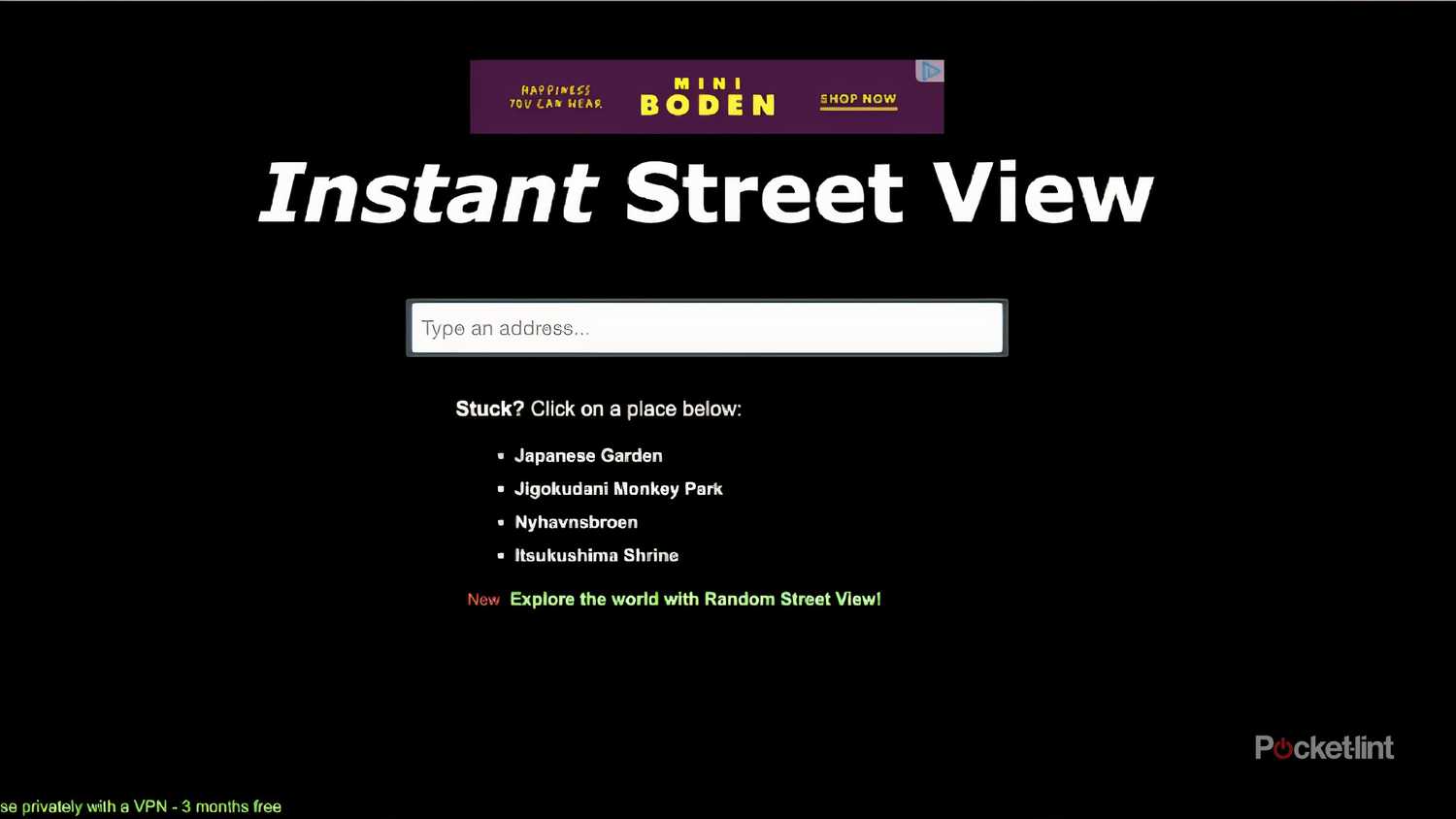
Image source: Pocket-lint
How to Use Split-Screen Navigation for Better Orientation
A common pitfall when using instant street view tools is losing your sense of direction. When you are zoomed into a 360-degree image, it is easy to forget which way is North or which street you are actually looking at. To solve this, the Google Maps mobile app includes a highly impactful split-screen mode.
To enable this, enter Street View on your phone and look for the "Expand" icon (two small arrows pointing away from each other) in the bottom right of the image. Tapping this will split your screen: the top half shows the 360-degree street image, and the bottom half shows the top-down map. As you rotate the street image, a "flashlight" beam on the map shows exactly which direction you are facing.
This mode is an excellent choice for navigating complex intersections or finding specific storefronts in dense urban environments. It allows you to "walk" down the street by tapping the arrows in the 360-view while simultaneously watching your blue dot move along the map below. This dual-perspective navigation sets a high standard for mobile orientation that browser-based wrappers have yet to replicate.
Why Is Instant Street View Showing a Black Screen?
If you use third-party sites like InstantStreetView.com, you may occasionally encounter a black screen or a "Map data not available" error. This is rarely a fault of your device and is typically related to the underlying API or regional restrictions.
Common Causes and Fixes
- API Quota Limits: Third-party sites pay for (or receive a free tier of) Google Maps API usage. If a site becomes exceptionally popular, it may hit its daily limit, causing the imagery to stop loading for all users until the quota resets. Fix: Switch to the official Google Maps site or app.
- Browser Extensions: Ad-blockers or privacy extensions can sometimes interfere with the scripts required to render the 360-degree sphere. Fix: Try opening the tool in an Incognito or Private window to see if it loads correctly.
- Lack of Coverage: Not every road is mapped. If you type an address for a private road or a remote area, the API will return a black screen because no panorama exists. Fix: Check the "Layers" view in Google Maps to see if the street is highlighted in blue.
- Hardware Acceleration: Street View requires WebGL to render. If your browser's hardware acceleration is turned off, the 360-degree images may appear black or distorted. Fix: Enable hardware acceleration in your browser settings (Settings > System > Use hardware acceleration when available).
Advanced Tips for Power Users and Developers
For those who use Street View for professional purposes, there are several ways to enhance the experience. One of the most useful features of
instantstreetview.com
is the ability to generate a URL that preserves your exact zoom level and viewing angle. This is perfect for sending a specific view of a building's roof or a specific street sign to a colleague.
Keyboard shortcuts are another way to speed up exploration. On desktop versions of these tools, you can use the following keys:
- +/- Keys: Zoom in and out of the image.
- Arrow Keys: Move forward, backward, or rotate the camera.
- A/D Keys: Rotate the view left or right.
- W/S Keys: Move forward or backward along the street.
Furthermore, developers can use the
StreetViewPanorama
class in the Google Maps JavaScript API to embed these views into their own websites. This allows for custom overlays, such as showing property boundaries or utility lines directly on top of the street-level imagery. As noted by
MangoMap
, this integration is a significant step forward for businesses that need to provide geographic context to their clients without forcing them to leave their proprietary platform.
Frequently Asked Questions
No, Instant Street View is not a live webcam. The imagery you see is a static archive of photos taken by Google's camera cars, trekkers, and snowmobiles. Depending on the location, the images may be several months or even years old. While Google updates major cities frequently, rural areas may go years without a new capture. For live traffic or weather, you would need to use different layers or dedicated webcam services.
To request a blur or report an image, you must use the official Google Maps interface. Navigate to the image in question, click on the three-dot menu (or "Report a Problem" link in the bottom right on desktop), and follow the prompts. You can request blurring for your face, your home, your car/license plate, or other objects. Note that once a house is permanently blurred, Google cannot unblur it in the future.
No. Street View availability depends on local laws and Google's mapping progress. For example, countries like Germany and South Korea have historically had limited coverage due to strict privacy regulations, though this has expanded significantly in recent years. Other nations, such as China or North Korea, have virtually no Street View coverage due to government restrictions. You can check Google's official coverage map to see where the cars have traveled.
Most third-party tools like ShowMyStreet are free for casual users. They typically generate revenue through display ads on the site. However, if you are a developer looking to use the Google Maps API for your own "instant" tool, Google charges based on the number of "Panorama Loads." For high-traffic applications, these costs can become substantial, which is why some third-party sites may occasionally go offline or limit features.
Yes, through a feature called "Indoor Maps" or "See Inside." Many businesses, museums, and transit hubs have partnered with Google to provide 360-degree interior tours. While third-party instant tools usually default to the nearest outdoor street coordinate, the official Google Maps app allows you to click on a building icon to enter the interior view if it has been mapped by a Google-approved photographer.
Key Takeaways for Navigating the World Instantly
Mastering Street View tools allows you to explore the globe with unprecedented speed and detail. Here is how to make the most of these technologies:
- Use third-party wrappers like ShowMyStreet for the fastest address-to-visual experience on desktop.
- Leverage the native Google Maps app for mobile use to ensure stability and access to AR features.
- Verify privacy blurs in both standard Street View and the newer Immersive View to ensure your property is protected.
- Access the Street View Archive on the official site to view historical changes to a location over time.
- Enable split-screen mode on mobile to maintain orientation while exploring dense urban areas.
- Check hardware acceleration and API quotas if you encounter a persistent black screen error.
For the most reliable results, use third-party tools for quick checks and the official Google Maps app for deep research and privacy management.